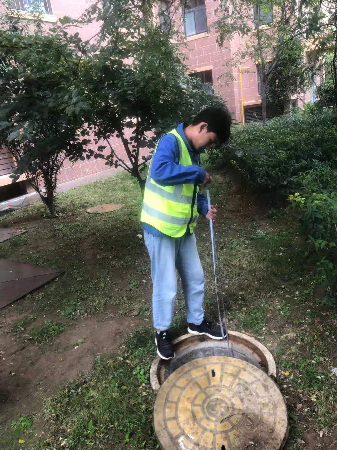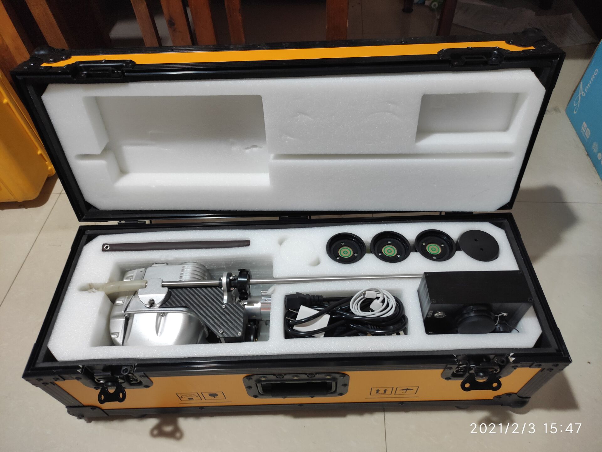
Commissioned by the Housing and Urban-Rural Development Bureau of Xinji City, our company undertook the drainage network investigation, detection and establishment of Geographic Information System (GIS) project, with the area covering the built-up area of Xinji City (north to Xingye Street, east to Gongye Road, south to Hengjing Line, and west to Yanyuan Road).
The project started on July 12, 2020 and completed all geophysical field exploration and pipeline point field measurements until October 01, 2020, measuring 73,608 pipeline points and 560.599 km of pipeline length and establishing a modern drainage pipeline management system with drainage network data as the core of the entire information system.

The drainage line management system uses geophysical prospecting technology, mapping technology, computer technology, GIS technology, network technology and database technology to obtain, store, edit, query, count, analyze and output all the drainage line information of the city in digital form, so as to provide accurate basic information of drainage lines for the construction and development of the city.